
Podstrana
Location
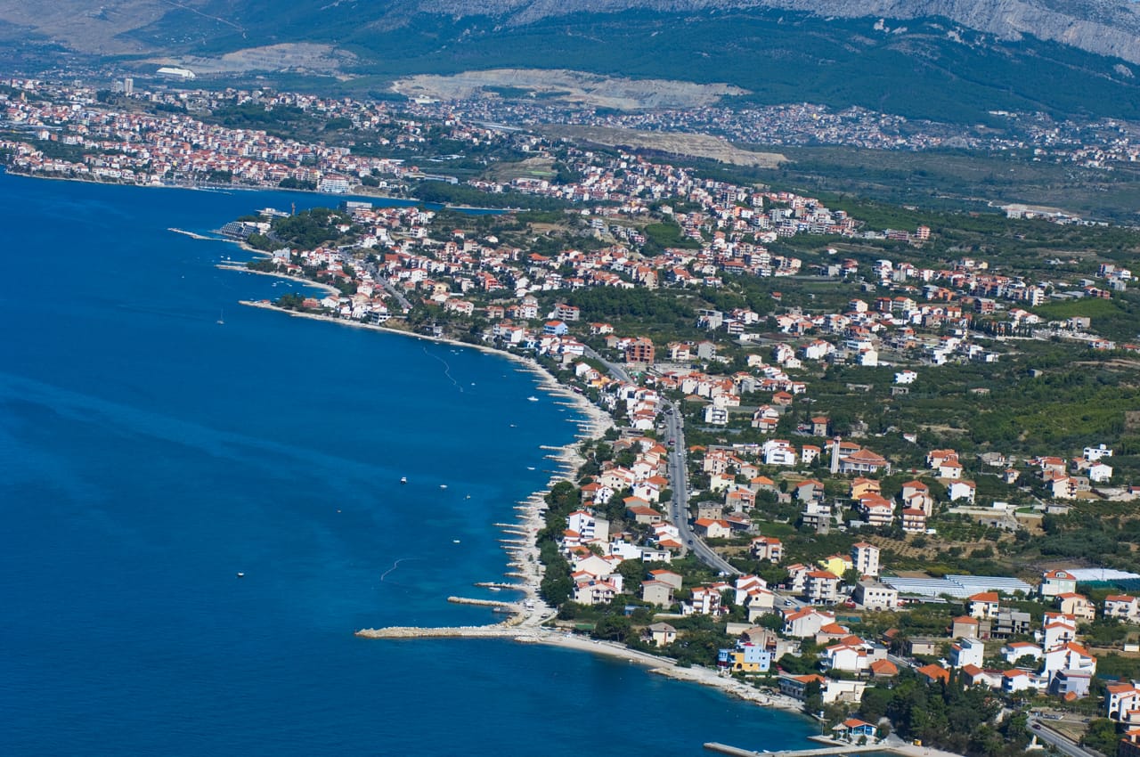

The territory of the Municipality of Podstrana covers the southern side of Perun Hill, stretching from its peak ridge to the sea coast. The northwest border of Pdostrana is drawn by the lower course and mouth of the Žrnovnica river, while the southeast border is marked by the coastal hill of Veliki Mutogras (98 m). The average distance between the mountain ridge and the coast is approximately 2.5 km, while the total area of the territory of the municipality is about 11.5 km2.
History


The toponymy of Podstrana and Žrnovnica has preserved unique, extremely valuable traces of Old Slavic beliefs, which were brought to this area by the first Croats. These toponyms are the oldest testaments to Croatian presents (7th and 8th century) on the territory of the Republic of Croatia and, together with several other similar localities located along the Adriatic coast and in the hinterland, provide insight into the ancient culture and idiosyncratic worldview of the Croatian people before Christianisation.
Beaches


Enjoying the sea and beaches is one of the main assets of Croatian tourism, and the coast and waters of Podstrana are among the cleanest in the entire country. The entire coast of Podstrana is tame and suitable for swimming, and has been groomed as one long (6-kilometre) beach in almost its entire length.
River


The Žrnovnica river, whose short course terminates with its estuary in the sandy bay of Stobreč, marks the western border of the municipality. Its left bank and the relatively well-preserved river vegetation along it create a distinct landscape. The pebbled promenade (2 km in length) follows the riverbank from the estuary to Peta Perunova (the quarry).
Mountain


Towards the northeast, Podstrana is fully sheltered by the slopes of Perun hill (Križ 533 m), which abound in the remains of Illyrian culture, the traces of pre-Slavic mythology and mediaeval chapels and graveyards that are commonly decorated with Antique fragments.